
DRONALYTICS
Aerial & Marine Drone Inspections
High-resolution inspections using aerial and underwater drones for infrastructure, industry, and engineering.
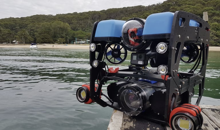
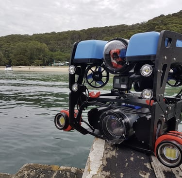
Underwater inspections using ROV technology
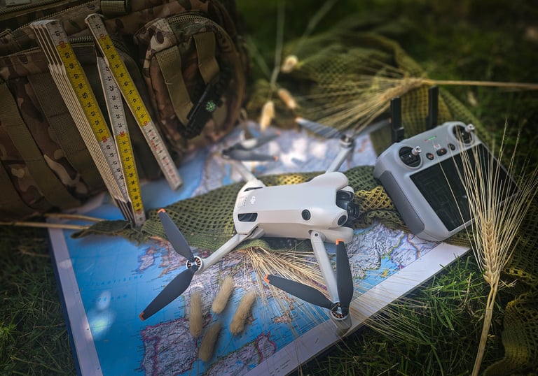
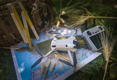
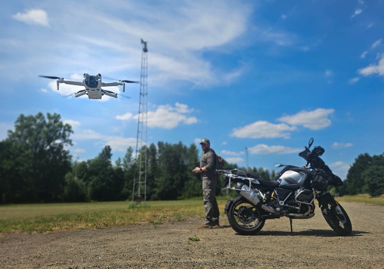
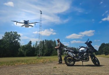
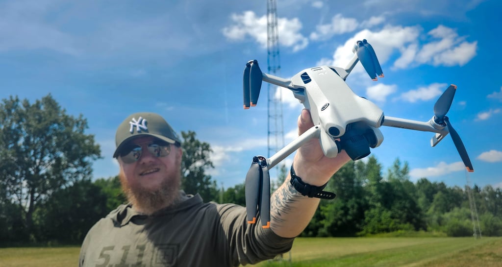
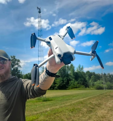
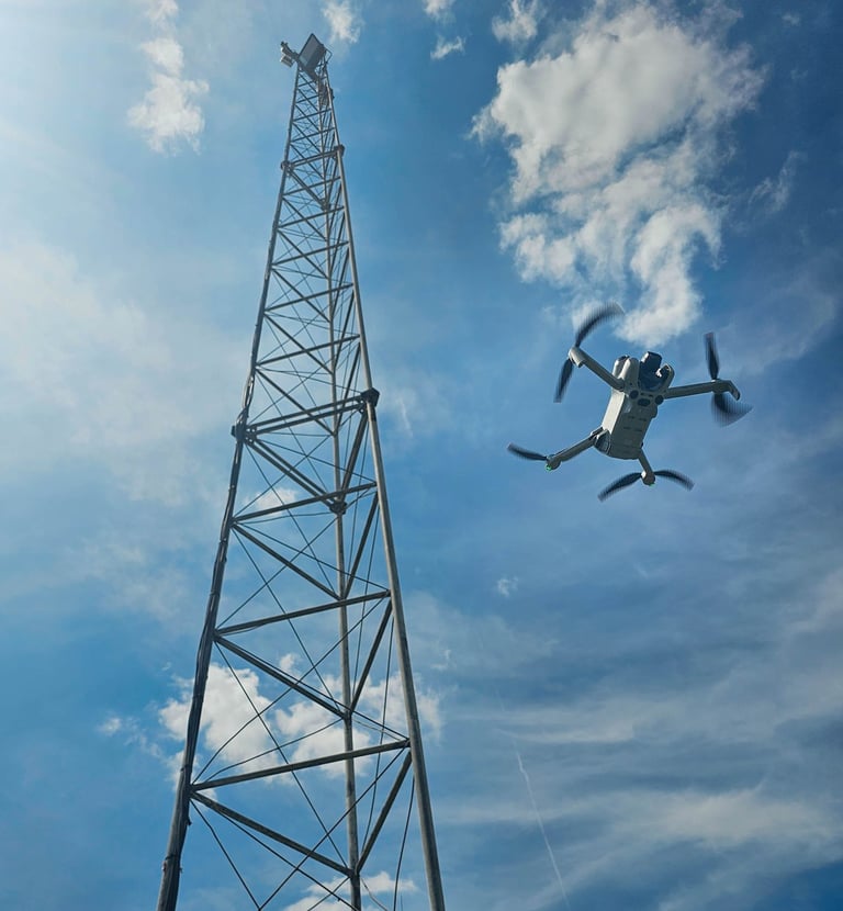
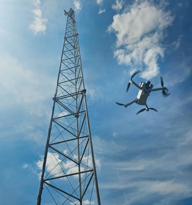
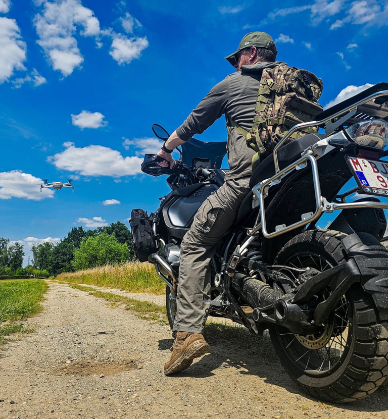
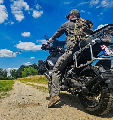
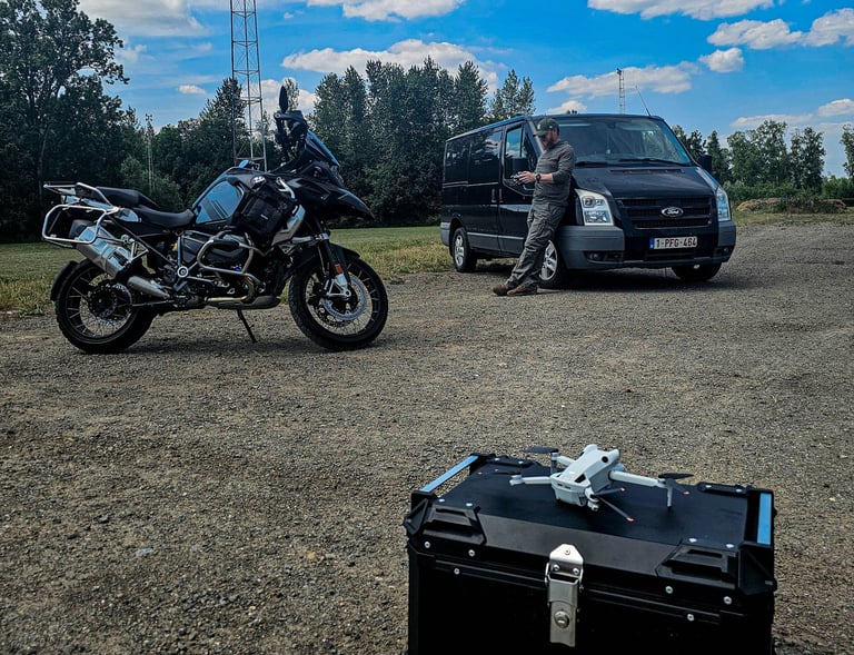
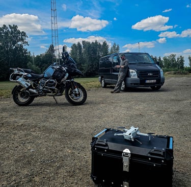
Aerial Division
Marine Division
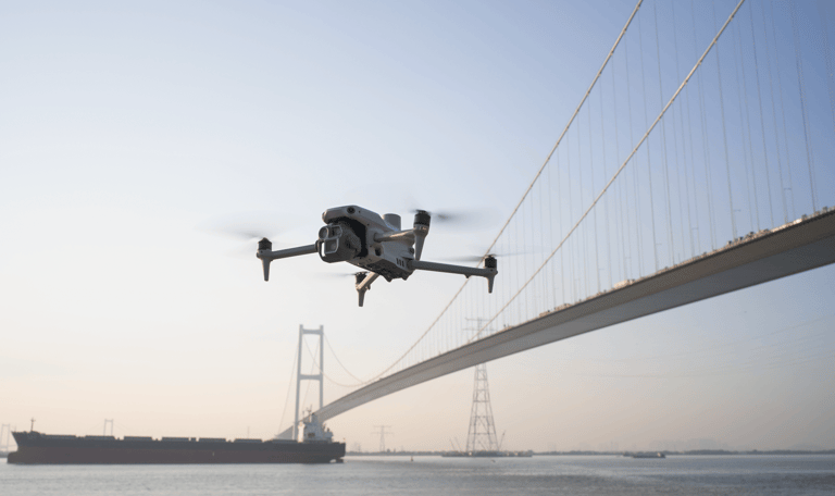
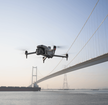
Let's get some air...
Let's get wet...
Inspections from the air
About Us: Advanced Data Analysis with Drones
Dronalytics delivers innovative aerial imagery and data analysis. Our team supports companies with valuable insights for inspections, agriculture, real estate, and infrastructure—focused on quality, efficiency, and reliable decision-making.


Geweldige service en nauwkeurige data!
Tevreden klant
"
Drones and Data
Discover our advanced data analysis and aerial imagery for better business decisions and insights.
Inspections and Analysis
We provide accurate drone-based inspections and analyses across a wide range of sectors and applications.
Agricultural Solutions
Optimize your agricultural operations with aerial imagery and data analysis for improved yields and efficiency.
Reliable Infrastructure Data
Infrastructure and Real Estate


Aerial Imagery Analysis
Discover advanced data analysis and aerial imagery for your business.


Dronalytics biedt uitstekende data-analyse en luchtbeelden. Hun expertise heeft ons echt geholpen bij inspecties.
J. de V.
★★★★★
Socials
Follow our journey on the following channels:
CONTACT
© 2025. All rights reserved.